
Selected work · Live client
BeachGo
Beach directory · UK coast
A public directory of the UK coast covering more than 2,000 beaches, generated from a versioned dataset and built to be found in search.
Visit live website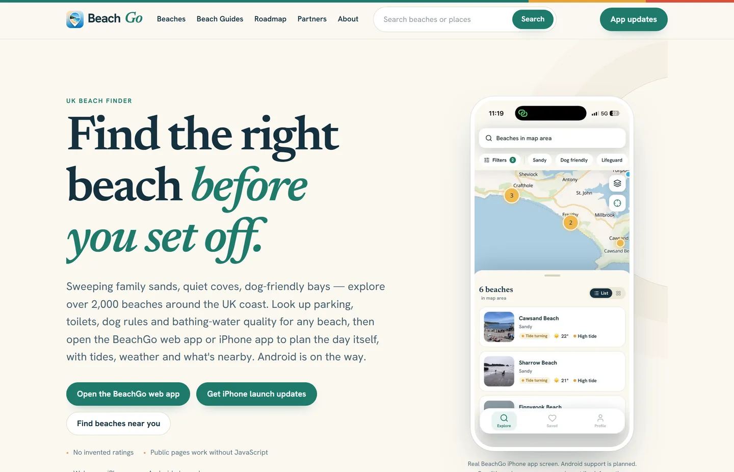
The project
Thousands of pages, and every one of them has to be right.
BeachGo helps people choose a beach before they set off. The website is the public, searchable half of that: someone types a town into Google, lands on a beach page, and needs to know what the beach is like, what is there and how to get to it.
At this scale you cannot write pages by hand. Every public page is generated from a versioned, checksum-verified release of BeachGo’s coastal dataset, which draws on named public sources including OpenStreetMap, the Environment Agency, Ordnance Survey and the Food Standards Agency. The site then hands off to the BeachGo web and iPhone apps for the day itself.
What we built
A directory, and the routes into it.
- Beach directory covering more than 2,000 UK beaches
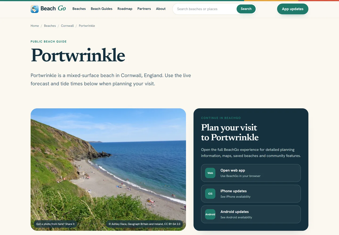
- Individual beach guide pages
- County and coastline browse pages
- “Beaches near” pages for towns and cities
- Feature pages for parking, dogs and beach type
- Search across beaches, towns and counties
- Live weather and tide times per beach
- Nearby-beach linking by measured distance
- Source, licence and attribution pages
- Partnership enquiry form with categorised routing
- Public product roadmap and feature suggestions
- Public pages that work without JavaScript
The editorial rule
Say what is recorded. Never guess the rest.
The difficult part of a directory this size is not the pages that have data. It is the pages that do not. A beach with no recorded toilets is not a beach without toilets, and a site that quietly implies otherwise loses the trust it needs.
So missing information is omitted rather than invented, every page names the data release it was generated from, photographs carry their licence and credit, and pages route the reader to official sources and local signage for anything that changes with the tide or the season. Location pages calculate real distance rather than assuming a radius, and feature pages are only published where enough nearby beaches genuinely qualify.
No card. No obligation.
Got a directory, listing or dataset to put online?
Tell us what the data is and who needs to find it. We’ll be clear about what it takes to turn it into pages people can actually search for.
Get My Free WebsiteThe first form takes around 30 seconds